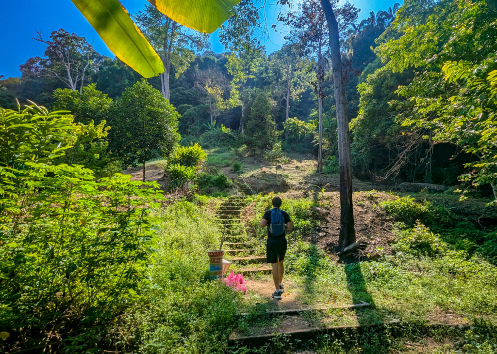
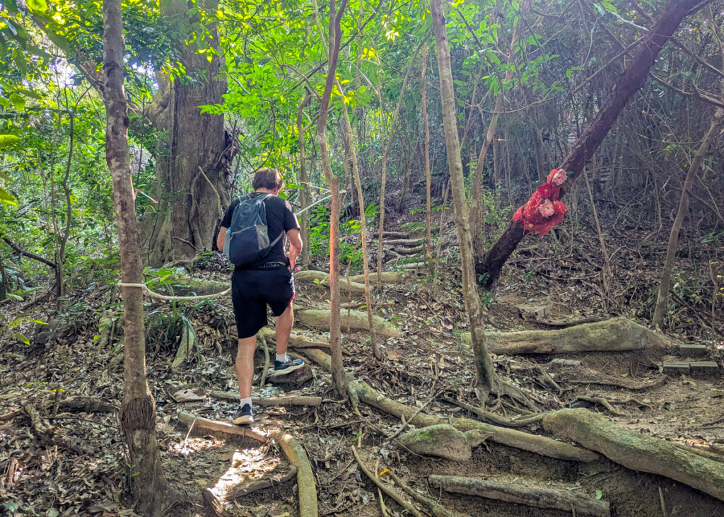
This short but steep jungle trail climbs Freedom Hill in Batu Ferringhi, ending at a small viewpoint with a framed glimpse over the coastline.
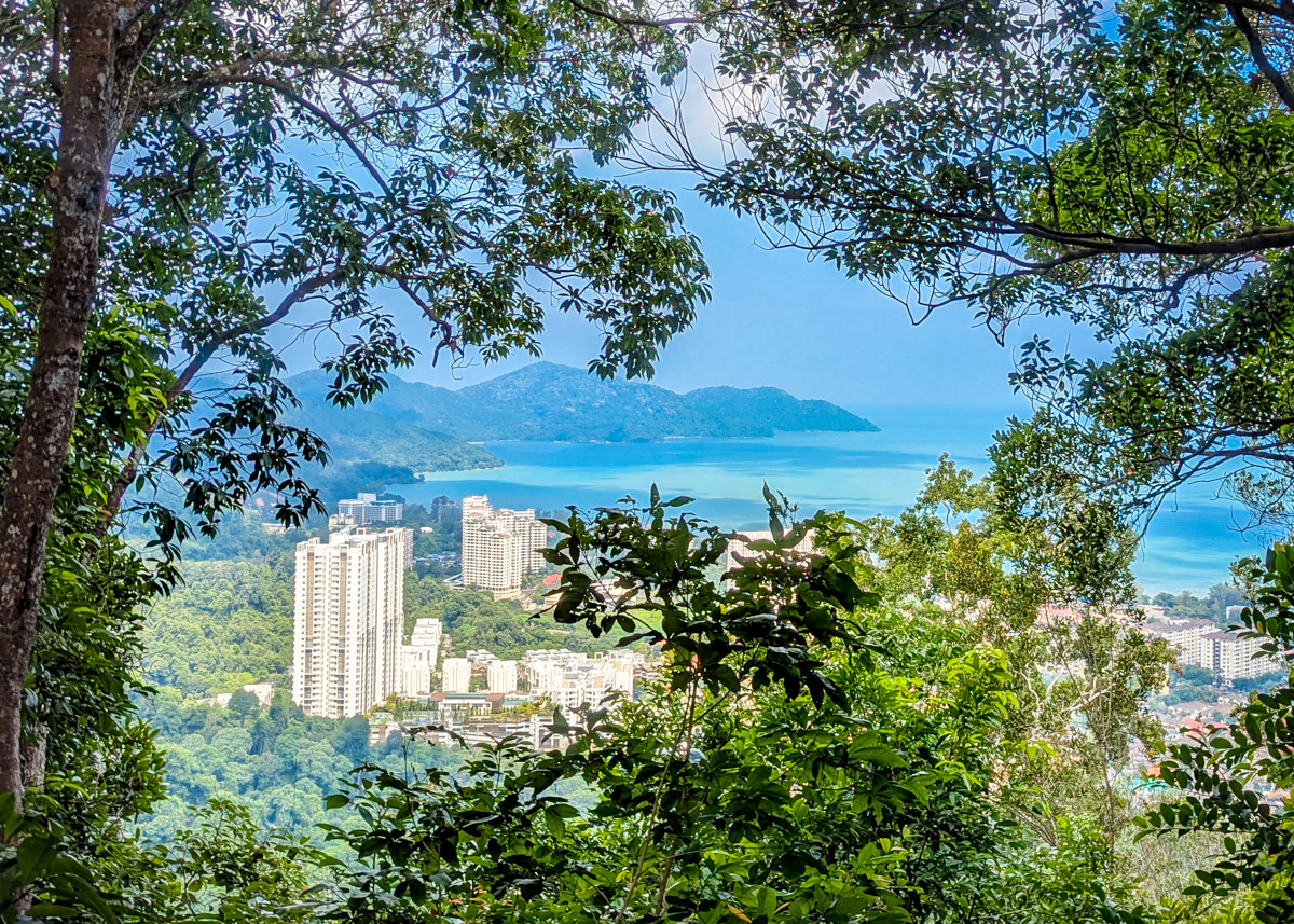
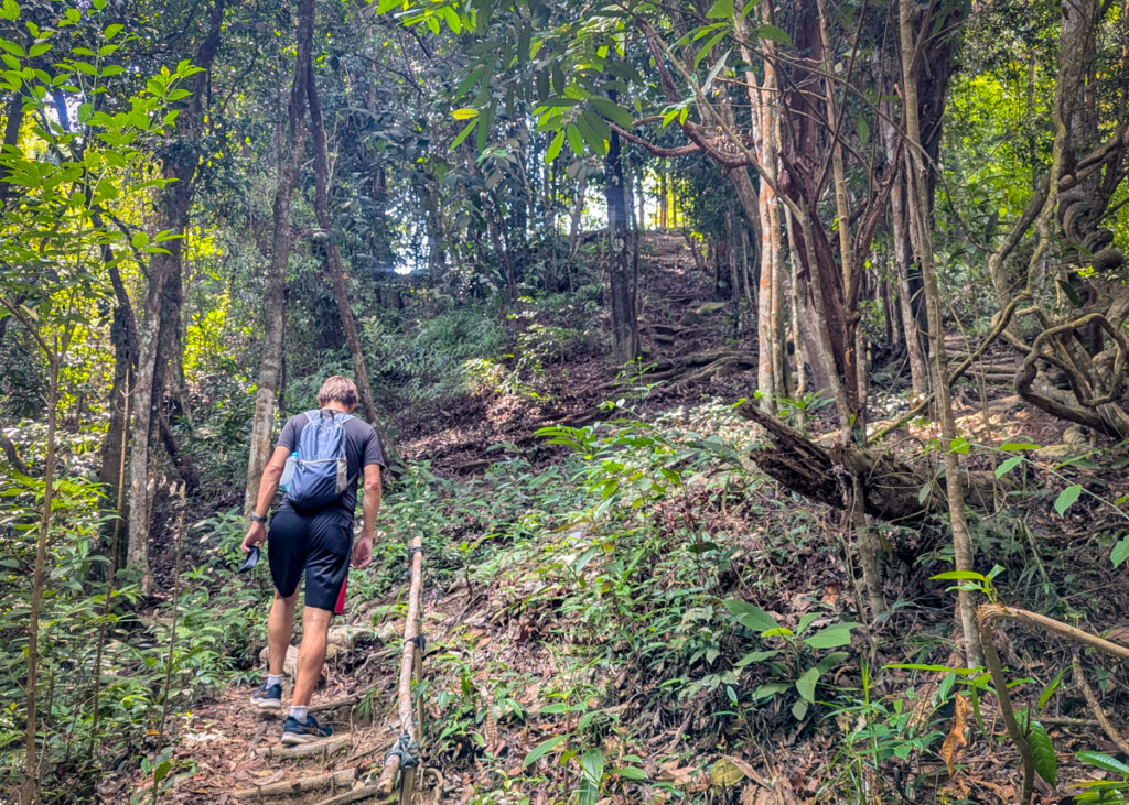
Located in the beachside suburb of Batu Ferringhi, but a world away from the usual tourist attractions, Freedom Hill offers a challenging and rewarding hike through the rainforest. Prepare yourselves for a sweaty ascent though, mainly on well-maintained steps that cut through the trees before opening onto a pretty summit area, complete with benches, hammocks and views towards Penang National Park.
As with many of our Penang walks, facilities are limited, so bring plenty of water, sunscreen and insect repellent. Although it’s only a 1km hike to the summit, you will ascends 184m in that short distance, so you will need a relatively decent level of fitness to complete the walk. Do remember to save energy for the decent, the steps can be challenging when you’re tired, especially if there has been recent rainfall. Hiking poles are recommended.
Map of Freedom Hill walk
Getting to the start of this Freedom Hill walk
If you don’t have your own wheels, it’s easy enough to get a Grab to the starting point (just type ‘Freedom Hill’ into the search box when ordering your Grab and you will be driven straight there). As you’re reasonably close to the main road running through Batu Ferringhi, it’s easy enough getting a Grab at the end of your hike.
Please note that there are no snack or toilet facilities at the start of this walk.
Route instructions for the Freedom Hill walk
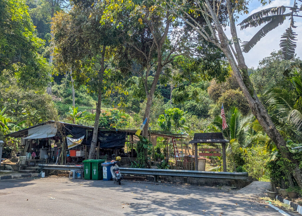
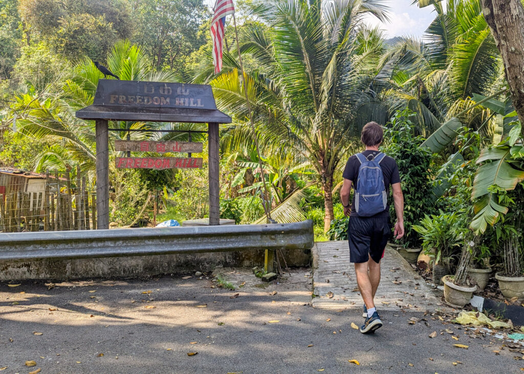
START: Freedom Hill trailhead
Total distance (to the summit and back): : 2km
Total ascent: 184 meters
Total descent: 184 meters
Time: allow 1.5 hours for this walk (including rest stops)
1. From the start of the trail, walk along the clearly marked trail, following the steps uphill. Shortly after the first set of steps, you’ll find wooden hiking poles left for public use (highly recommended for the descent).
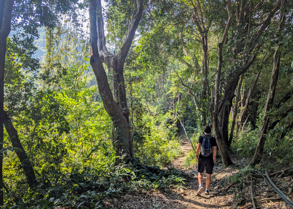
2. As you approach the top of the series of steps there is a sharp turning to the right. You can’t miss it as it’s the obvious trail route. From here the path flattens out and 20 metres on, there’s a concrete picnic table on the right for a rest.
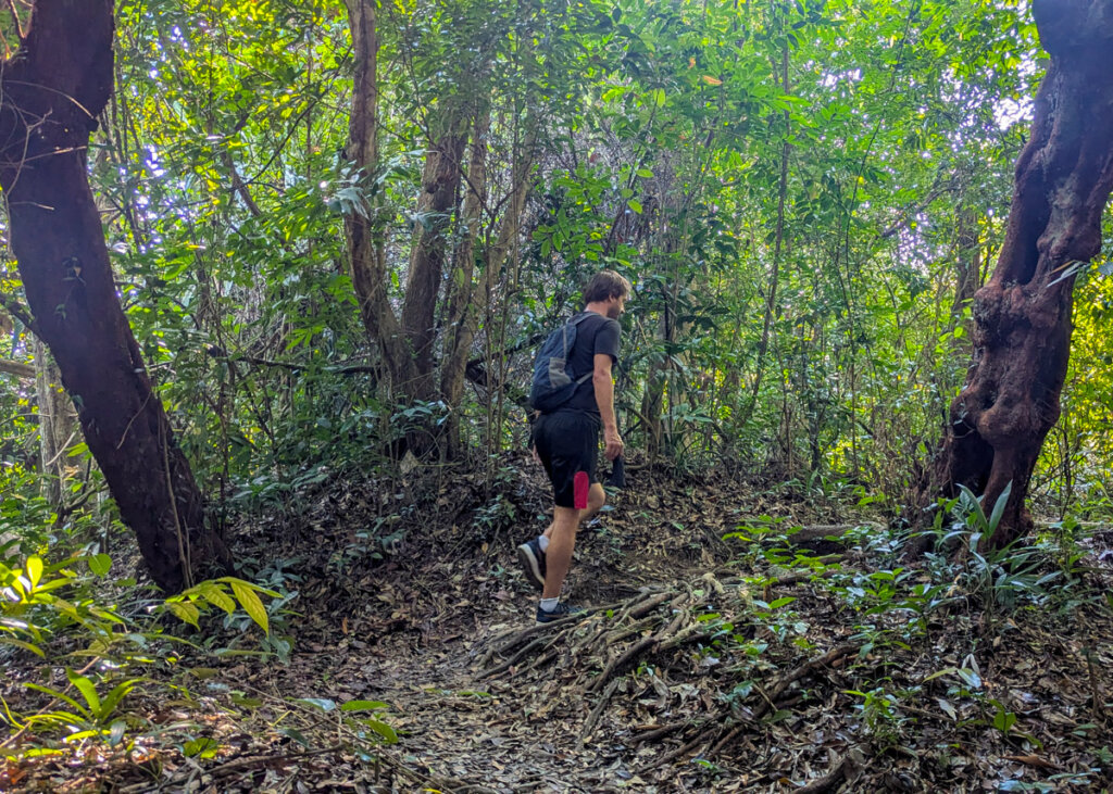
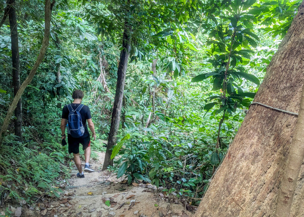
3. Continue along the trail as it briefly descends before (of course) climbing again. A rope on the left provides support for the first steep section of steps here.
4. You will shortly reach a fork where Google Maps suggests turning right – IGNORE THIS. Continue along the obvious path that veers to the left, using the white rope on the left for support.
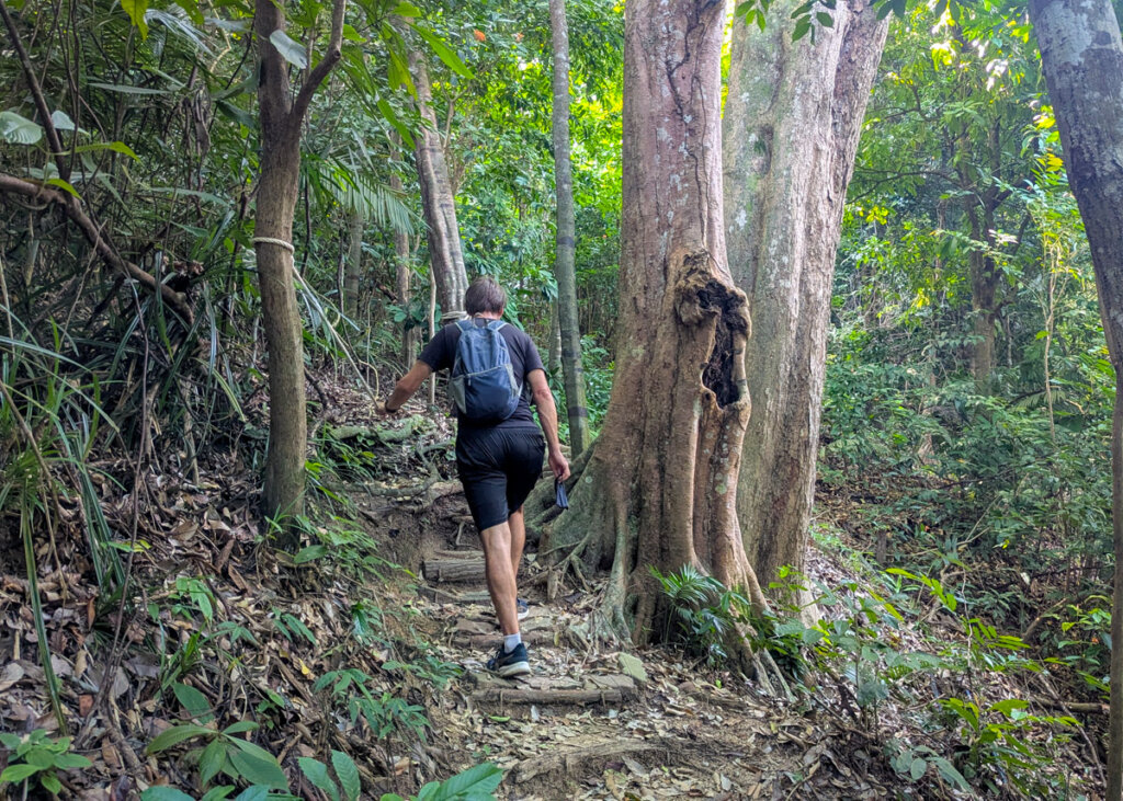
5. Then just after the footpath levels out slightly continue the steps uphill to the right. This is the final short climb!
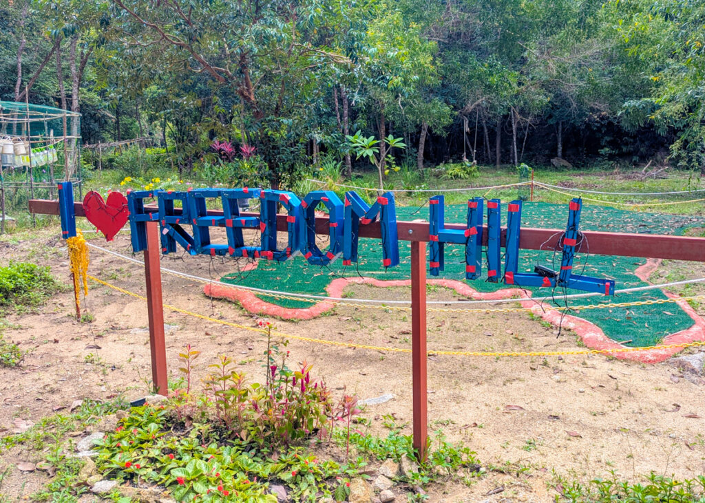
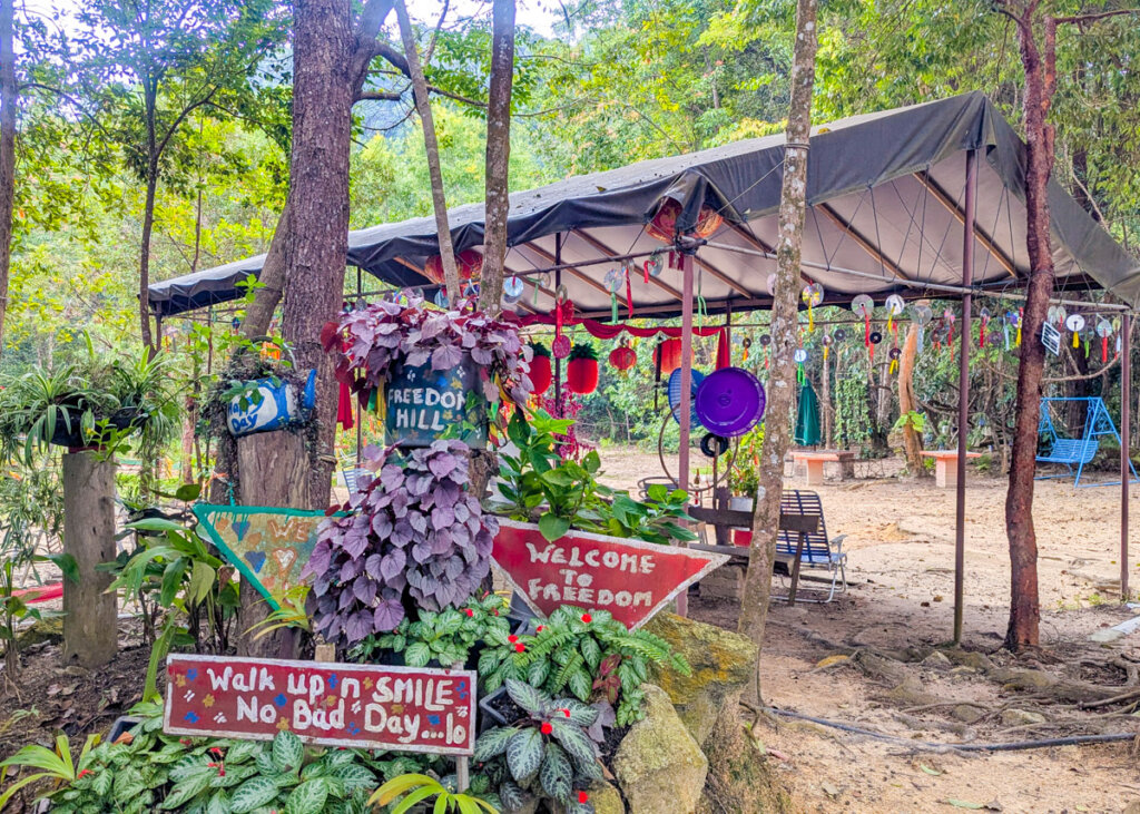
6. At the top, colourful decorations mark the viewpoint. Hammocks and chairs are provided for a well-earned rest. You deserve it before the return walk.
7. The return walk follows the same route downhill. Take care descending, especially at the start, as the steps are very uneven and can be extremely slippy after rainfall.
On Penang ebook
Updated for 2026, the On Penang ebook is the only travel guide you need for exploring the island of Penang. It is jam-packed with inspiration on what to do, where to eat, where to stay, and also includes a step-by-step self-guided walking tour of George Town (with photos).
This is a PDF download for use offline and on the go (and ad-free!). Save it to read on the plane to Malaysia, download to your phone to follow the self-guided walking tour, or print it off at home before you leave on your adventures and highlight all the bits you want to remember for your visit.
-
 On Penang ebook£16.95
Before your go, check out these useful reads for your visit:
The best things to do in Penang
15 BEST restaurants in Penang
Top tips for visiting Penang
One day Penang itinerary
Best hotels in Penang
How to get around Penang
A brief history of Penang
